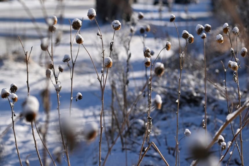
While Colorado’s Front Range and Eastern Plains battle strong winds and critical fire danger this week, the state’s mountains are on track to see more than a foot of snow, according to the National Weather Service.
The weather service issued winter storm warnings for the Gore and Elk mountain ranges, the Flat Tops and the San Juan Mountains for 11 p.m. Monday to 5 a.m. Thursday.
More than a foot of fresh snow is expected to accumulate across the Colorado mountain ranges, including near Aspen, Snowmass, Vail, Telluride, Ouray and Silverton, according to the warnings.
Colorado weather: Power outages possible amid high winds, ‘critical’ fire danger
As of Sunday afternoon, the weather service’s snow forecasts extended through 5 a.m. Wednesday. Snowfall amounts expected by early Wednesday morning included:
- 2 inches in Eldora, with up to 3 inches possible
- 3 inches in Breckenridge, with up to 4 inches possible
- 3 inches in Grand Lake, with up to 6 inches possible
- 4 inches in Winter Park and at the Keystone Ski Area Summit, with up to 5 inches possible
- 4 inches at Bear Lake in Rocky Mountain National Park, with up to 6 inches possible
- 4 inches on Colorado 9’s Hoosier Pass near Breckenridge, with up to 7 inches possible
- 5 inches on U.S. 6’s Loveland Pass, with up to 6 inches possible
- 5 inches on U.S. 40’s Berthoud Pass, Interstate 70’s Vail Pass and Colorado 125’s Willow Creek Pass near Granby, with up to 7 inches possible
- 6 inches on U.S. 40’s Muddy Pass near Kremmling, with up to 7 inches possible
- 7 inches on U.S. 34’s Milner Pass in RMNP, with up to 9 inches possible
- 8 inches on Colorado 14’s Cameron Pass near Fort Collins, with up to 10 inches possible
- 14 inches on Mount Zirkel, the highest summit of the Park Range in Colorado’s Rocky Mountains, with up to 16 inches possible
“Travel could be very difficult to impossible,” forecasters wrote in the storm warnings. “Blowing snow may result in near-zero visibility at times.”
A winter weather advisory, which ranks lower than a winter storm warning, was also issued for parts of Jackson, Larimer, Grand, Boulder, Gilpin, Clear Creek and Park counties, according to the weather service. The advisory, which includes Rocky Mountain National Park, will last from 11 p.m. Monday to 11 p.m. Wednesday.
“Sudden snow squalls” in the area may bring “intense bursts of snow, rapidly reduced visibility and treacherous travel conditions,” forecasters stated in the advisory.
Snow will start Monday night in the mountains and continue off-and-on into the weekend, according to hourly forecasts from the weather service. On Colorado’s tallest peaks, including Mount Zirkel, and ski areas, including Keystone and Breckenridge, snow is forecast through Saturday evening.
Backcountry explorers headed to the Elk and Park mountain ranges should also be wary of triggering avalanches this week, according to the Colorado Avalanche Information Center
Both areas will have a high risk of avalanches on Tuesday, and both will be under an avalanche watch from Tuesday to Friday, according to an alert from the agency.
Get more Colorado news by signing up for our daily Your Morning Dozen email newsletter.