



Last updated: Friday, August 7, 2026 11:12PM GMT
Stream New York’s #1 news – AccuWeather – original content 24/7
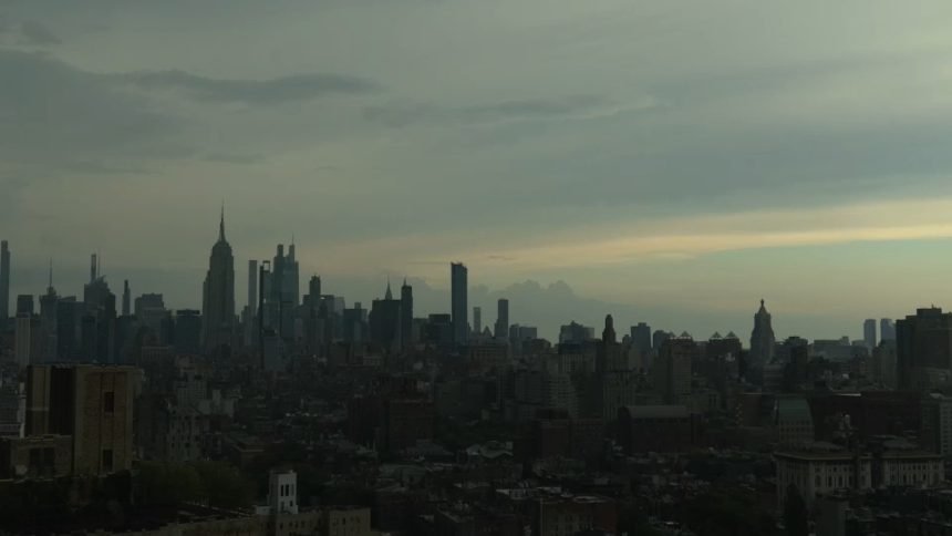
NEW YORK (WABC) — Severe thunderstorms moving through New York City and parts of the Tri-State area Friday evening is bringing flooding downpours, and the potential for damaging winds.
The National Weather Service has issued severe thunderstorm and flash flood warnings for New York City and parts of the Tri-State area.
A Severe Thunderstorm Watch has also been issued for the Tri-State area until 9 p.m.
Check here for the latest alerts from the National Weather Service.
Storms will move out late Friday night, but heat will will remain intense on Saturday, with a heat advisory continuing through the day. Afternoon temperatures will climb to near 90 degrees, but high humidity levels will push heat index values into the mid-90s to around 100 degrees.
The most extreme heat index readings are expected across interior New Jersey and portions of Monmouth and Ocean counties.
Please fill out the form below to submit weather photos and videos.

Severe Thunderstorm Warning issued for parts of NYC, NY and Connecticut
The National Weather Service has issued a Severe Thunderstorm Warning for parts of New York City, including Queens, the Bronx and Brooklyn, and parts of the Tri-State.
The impacted portions of the Tri-State include Fairfield County in Connecticut, and southern Westchester County and Nassau County in New York.
Paterson Fire Department responding to numerous water rescues
The Paterson Fire Department said they are operating throughout the city for numerous water rescues.
Concertgoers for Usher, Chris Brown concert at MetLife urged to seek shelter