


In what has proved to be a blockbuster storm season in the tri-state area, yet another round of severe weather is set to slice through the region Thursday afternoon and evening.
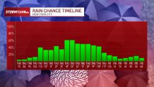
Atmospheric moisture will spike on Thursday ahead of a cold front. Showers may develop as early as the morning, but strong to severe storms are expected to hold off until later in the afternoon.
A flood watch is set to go into effect for part of the tri-state beginning at noon Thursday.
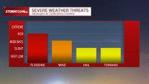
Heavy downpours could drop rain at rates of 2 or more inches per hour, which could lead to isolated flash flooding. Most areas in the tri-state will receive under two inches of rain total, but localized areas where the strongest storms develop could pick up as much as 5 or more inches.
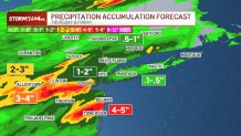
The highest risk for flash flooding will be in the New York City Metro Area westward into Central New Jersey.

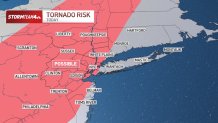
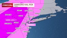
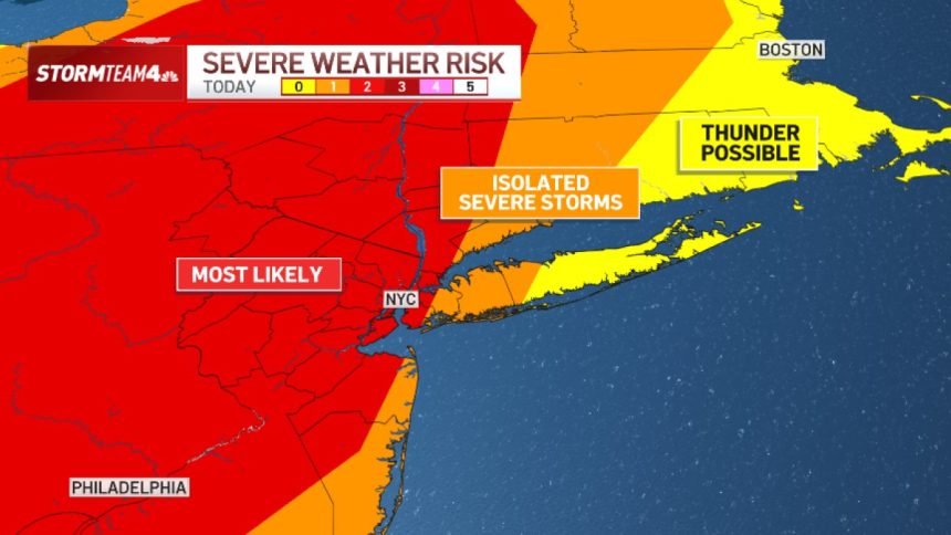
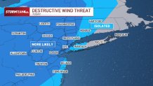
In addition to the flood threat, severe storms could produce damaging straight-line wind, hail, and even a tornado. These storms are most likely from Central and North Jersey extending up into the Hudson Valley.
The strongest storms will be from mid-afternoon through early to mid-evening on Thursday before rain chances diminish.