What to Know
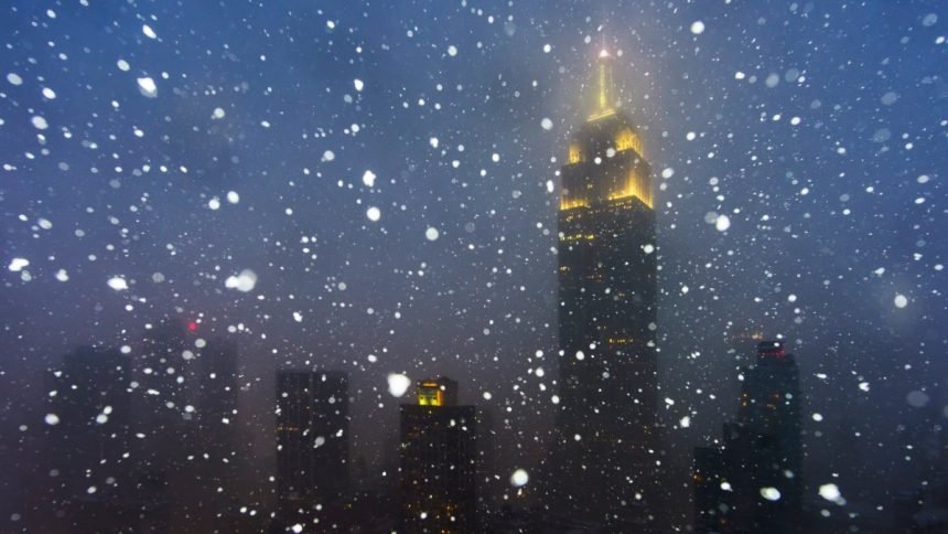
- A powerful winter storm is expected to dump up to 8 inches of snow on New York City and New Jersey — and potentially more in parts of the Hudson Valley — over the next day.
- A winter storm warning has been issued for the entire metro area, from southern CT to northeast NJ and southeast NY. It lasts through Saturday afternoon.
- Snowfall rates could hit 2 inches an hour at the peak of the storm overnight. Check the latest severe weather alerts here.
- Because we’ve had so little snow the last few winters, even 4 inches would be Central Park’s biggest total in four years. We could see double that if the forecast holds.
- For NY, CT, and most of NJ, this will be an all-snow event, as temps stay below freezing for the duration. Areas southwest will see a mix of snow, sleet, freezing rain, and rain.
- A state of emergency is in effect in NJ and NYC has issued a travel advisory; drivers should expect delays in holiday travel and hazardous travel conditions during snow.
A powerful winter storm is expected to dump up to 8 inches of snow on New York City and New Jersey — and potentially more in parts of the Hudson Valley — starting late Friday afternoon.
A winter storm warning has been issued for the entire metro area, from southern Connecticut to northeast New Jersey and southeast New York. It lasts through Saturday afternoon.
Track the latest developments below (and the latest weather alerts here).