This project will standardize and scale gamma-ray spectrometry (GRS), a nuclear technique that measures gamma rays emitted by radionuclides naturally present in soil, such as potassium, uranium and thorium, to deliver high-resolution, scalable assessments of soil properties. It aims to enhance GRS technologies, integrated with digital and remote sensing tools, for precise soil property assessment and monitoring—including texture, total carbon, total nitrogen and moisture.
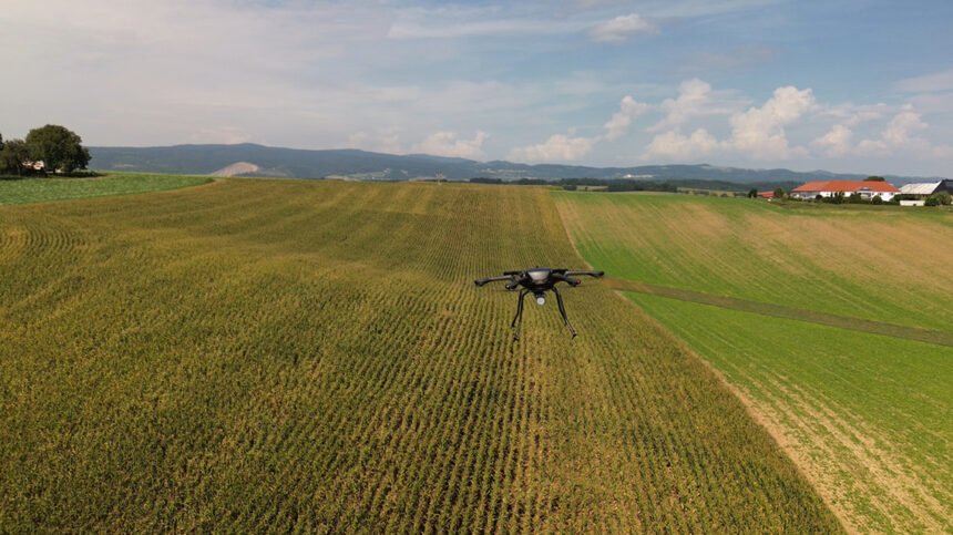
By capturing gamma rays on stationary, mobile or drone platforms, GRS reveals soil differences across agricultural fields at a high level of detail without disturbing the land. When combined with satellite imagery and advanced analytics, this approach supports targeted interventions that improve resource efficiency and preserve soil health. By integrating GRS outputs with digital tools, the project will equip decision makers with high-resolution soil maps to guide sustainable land and water use.
“Informed soil management starts with accurate data. This coordinated research project will provide practical protocols and tools to generate actionable soil information from nuclear-based assessments, enabling farmers and policymakers to make informed decisions,” said Gerd Dercon, head of the IAEA Soil & Water Management & Crop Nutrition Laboratory.