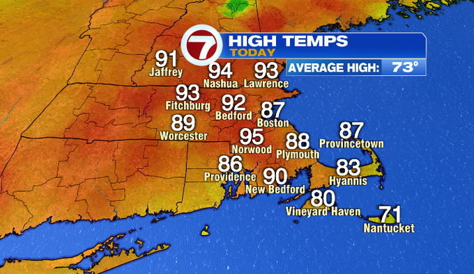
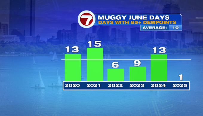
Hot enough out there for you today? A lot of towns joined the 90° club for the first time this season. Boston didn’t make it there thanks to an onshore wind. The mugginess was still there with dewpoints earlier today in the upper 60s. Phew!
Tomorrow it won’t be as warm. It stays humid, and there will be storms especially for the second half of the day.
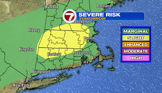
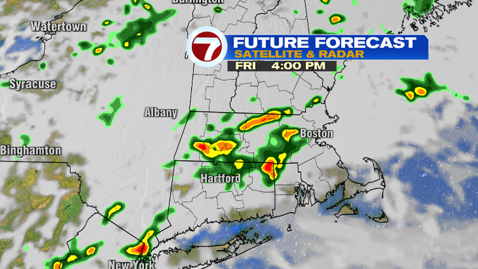
We’ve been hot and humid today out ahead of a front that’s brought severe thunderstorms and flash flooding from New York to Ohio this afternoon. It’s that front that will be nearby sparking storms tomorrow.
The Storm Prediction Center highlights our risk for any storms to turn severe below. The best chance for a few significant storms will be north and west of the city between 2-10 pm. There’s still an isolated risk for pretty much everyone else outside of the Cape. Our greatest threats will be damaging winds with gusts above 60 mph and downpours leading to localized flooding.
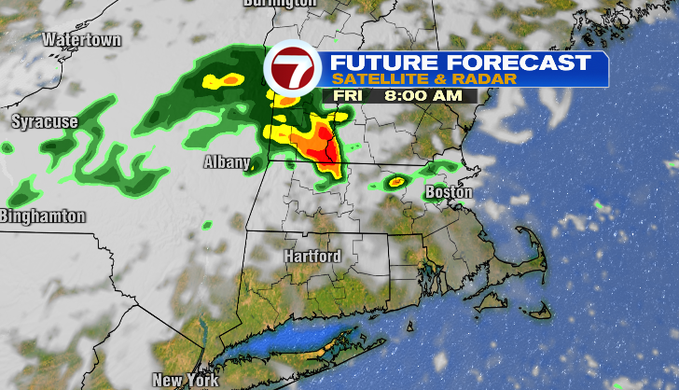
Overnight, it stays muggy and mild with temperatures in the 60s. There’s a chance for an isolated shower overnight. You might get under a shower or hear a rumble of thunder tomorrow morning. The better chance for showers and storms to get going occurs in the afternoon and evening. It’s this time that the storms could be on the stronger side.
Temperatures won’t be as warm in the upper 70s/low 80s inland. Towns on the coast should stay in the 70s.

-Meteorologist Melanie Black