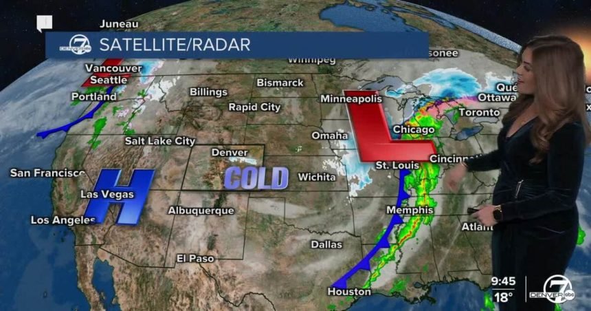
DENVER — What a storm! The snow just won’t stop this evening, which will lead to slick and icy roads overnight into Monday morning. Look for gradual clearing after midnight. Temperatures will drop into the teens overnight across the Denver metro and plains.
After a chilly start to your Monday, look for partly sunny skies and seasonal afternoon highs in the low 50s. The March-like weather won’t last long as we’re expecting a potential historic heat wave to move into Colorado starting Wednesday.
Daytime highs climb into the low 70s on Tuesday, St. Patrick’s Day, under mostly sunny skies along with some breezy conditions.
Denver could see its first 80-degree day of the year on Wednesday. Typically, the city doesn’t see 80-degree heat until late April. This unprecedented heat wave will bring temperature into the low to mid 80s Thursday and Friday, which would easily break the current records.
So far, it looks like Saturday will be the hottest day in the stretch with highs in the upper 80s. The hottest March temperature is 84-degrees, set on March 26, 1971. It look like that will easily be crushed Friday, if not Saturday.
Seasonal Monday with potential historic heat wave in Denver to end the week
DENVER WEATHER LINKS: Hourly forecast | Radars | Traffic | Weather Page | 24/7 Weather Stream
Click here to watch the Denver7 live weather stream.