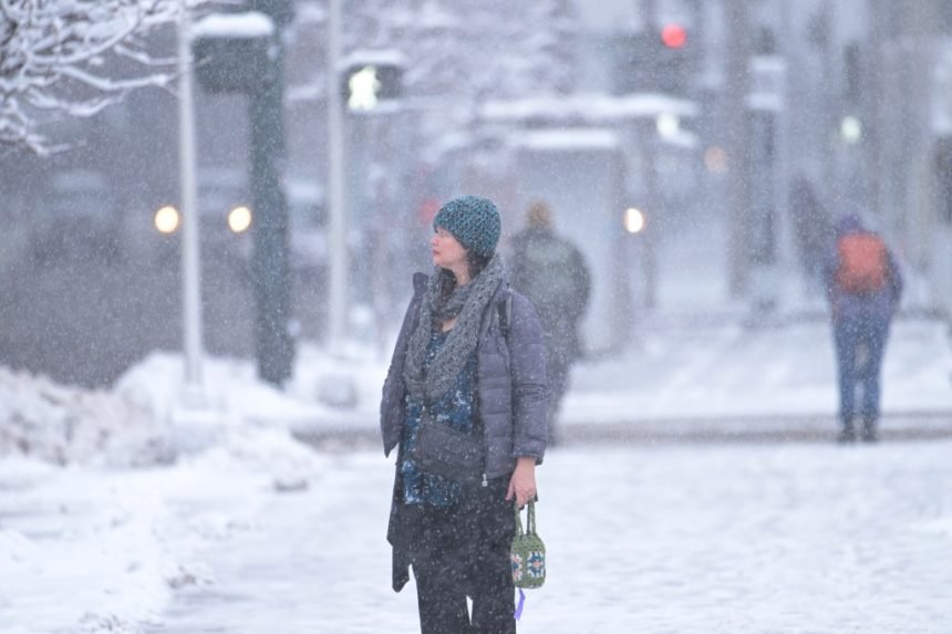
Snow started falling across Colorado early Thursday morning, prompting multiple winter weather advisories south and west of Denver, according to the National Weather Service.
As of Thursday morning, weather service forecasts for snow expected during this wave of winter weather included:
- 1 to 4 inches in Brighton, Estes Park and Longmont, and at Denver International Airport
- 1 to 5 inches in Broomfield, Breckenridge, Commerce City and on U.S. 40’s Muddy Pass near Kremmling
- 1 to 6 inches in Arvada, Aurora, Boulder and Denver
- 1 to 6 inches on U.S. 40’s Rabbit Ears Pass near Steamboat Springs and Colorado 125’s Willow Creek Pass near Granby
- 1 to 7 inches in Centennial, Lakewood, Littleton and on Vail Pass
- 1 to 8 inches in Parker, Eldora, Golden, Highlands Ranch and Kiowa
- 1 to 11 inches in Castle Rock, Conifer and Roxborough Park
- 2 to 6 inches on Colorado 9’s Hoosier Pass near Breckenridge and U.S. 285’s Kenosha Pass near Fairplay
- 2 to 8 inches in Evergreen and on U.S. 34’s Milner Pass in Rocky Mountain National Park
- 2 to 9 inches on Floyd Hill, U.S. 6’s Loveland Pass and Colorado 14’s Cameron Pass near Fort Collins
- 3 to 9 inches at Winter Park
- And 3 to 11 inches on U.S. 40’s Berthoud Pass near Winter Park
“Slow down and use caution while traveling,” weather service forecasters said in one winter weather advisory for the foothills and southern metro area.
The advisory — which covers parts of Jefferson, Douglas, Gilpin, Clear Creek and Park counties — took effect at 5 a.m. Thursday and will last through 11 a.m. Friday.
Another advisory covers the Palmer Divide from 2 p.m. Thursday to 11 a.m. Friday, and a third took effect Wednesday night for Colorado’s mountains, including the Park Range, Gore Range, Mosquito Range and Front Range mountains, according to the weather service.
A separate winter storm warning was issued for the Rampart Mountain Range and Monument Ridge, between Colorado Springs and Castle Rock, that will last from 2 p.m. Thursday to 11 a.m. Friday.
Heavy snow and strong wind gusts up to 40 mph will create hazardous travel conditions in northern El Paso County, according to the warning.
Snow is forecast to wrap up in the Denver area by 11 a.m. Friday, but it may continue falling in the mountains through Friday night and into Saturday morning, weather service forecasters said.
This is a developing story and may be updated.
Get more Colorado news by signing up for our daily Your Morning Dozen email newsletter.