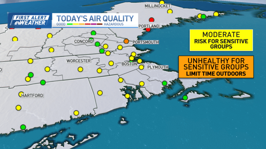
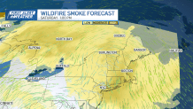
A drier airmass has returned to New England. However, the air quality is quite poor across much of the area. This is due to wildfire smoke from Canada that is being wafted over our area on a northerly airflow.
Air quality alerts are up through 11 p.m. across much of New England with the smoke getting extremely thick. This will make breathing harder today and will affect those with respiratory ailments. It’s advised that you avoid strenuous activities if you’re sensitive to the smoke.
Meanwhile, in southern New England and in Boston we don’t have air quality alerts, but again if you have respiratory issues it’s best to limit time outdoors.
The smoke in the sky distorts our sunlight and it will seem cloudier than usual.

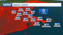
A sea breeze kicks in at the coast so temps there stay in the 70s, while inland we reach the low to mid 80s.
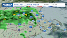
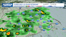
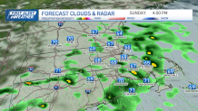
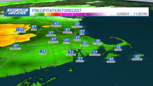
Sunday brings us scattered rain and some showers could bring a decent burst of rainfall accumulation.
The early morning and late evening hours seem to be driest for greater Boston.
The scattered rain will be off and on from 10 a.m. to 6 p.m. around the city.
We pick up 0.5” to 1” of rainfall through the day. The rain moves out in time for Monday.
Next week begins warm in the 80s, with 90s returning along with the humidity by Tuesday.
Late Tuesday night some isolated thunderstorms roll through along a cold front. This cools us a bit to the 80s for midweek.
Another chance for rain will be around the northeast for Thursday. With a dry stretch potentially setting up through next weekend.