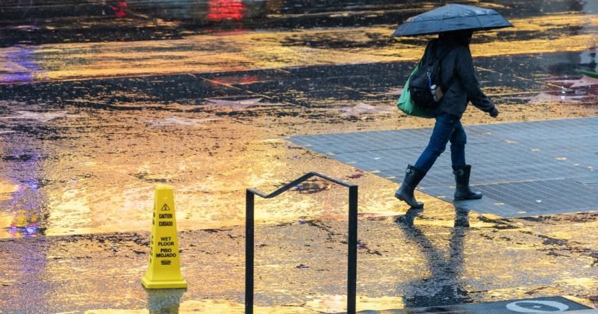
A string of strong, wet storms is expected to continue causing hazards across California, with flooding, debris flows, heavy snow and downed trees expected to overwhelm roadways all week, after already forcing the closure of a scenic stretch of Highway 1 near Big Sur.
Fresh off of three years of remediation and repairs, an almost seven-mile length of Highway 1 at Regent’s Slide in Monterey County remained closed Tuesday afternoon after storms had again buried sections of the two-lane highway. In Los Angeles County, a stretch of Topanga Canyon Road, between the Pacific Coast Highway and Grand View Drive, also remains closed after at least eight debris flows inundated the road.
And more heavy rains are possible through at least Thursday, with much of Southern California still under a flood watch, according to the National Weather Service.
But forecasters warn that high winds could be the greater concern Tuesday night into Wednesday, with a high likelihood for downed power lines and trees, especially after several days of rain. Much of the region is under a high wind advisory with up to 50-mph winds possible. In some mountain and high desert areas, including the Antelope Valley and Lancaster, gusts could reach as high as 65 mph, causing widespread power outages.
“This is really looking like a very significant wind maker,” said Ryan Kittell, a National Weather Service meteorologist in Oxnard.
Much of the area’s mountains are also under a winter storm warning, with heavy snow possible Tuesday evening through Thursday. That includes the Grapevine along Interstate 5 and the Highway 14 corridor, where up to 4 inches of snow is possible. Higher elevations could see anywhere from 4 to 12 inches.
At Big Bear Mountain Resort in the San Bernardino County mountains, Snow Valley recorded more than a foot of new snow Tuesday morning and expected to see that total rise over the next few days.
Near Lake Tahoe, Palisades Tahoe reported Tuesday it had already received almost 30 inches of show in the last 24 hours, and expected another 2 feet by Wednesday. Just before noon, the park shuttered “due to conditions, visibility and wind.” Mammoth Mountain also closed its park Tuesday “due to deep snow and storm conditions.”
Rainfall and thunderstorms will remain possible through Thursday, but the amounts aren’t expected to surpass what came through Southern California on Monday, Kittell said.
Tuesday night into Wednesday will still bring “a good amount of rain,” but most areas won’t see more than an inch in 24 hours, Kittell said.
After the first round of the storm series dissipated Tuesday morning, data showed that much of the Southland had received more than an inch of rain since the storm series arrived, with some locations recording more than 3 inches, according to the National Weather Service.
Rocky Butte, a peak in San Luis Obispo, topped the list with the most rainfall from the current storm, with 3.94 inches recorded as of Tuesday morning. Not far behind at 3.2 inches was Stunt Ranch in Calabasas and Topanga Fire Station, according to the weather service’s two-day rain totals.
Downtown L.A. has seen 1.97 inches; Long Beach had 1.74 inches; Canoga Park had 2.16 inches; Alhambra had 2.24 inches; and Ojai recorded 1.52 inches.
By Friday morning when the area should begin to dry out, forecasters predicted totals could reach up to 4 inches of rain in coastal and valley areas and 8 inches in the mountains and foothills.
But that likely won’t be the end.
“Most areas will get a little break Friday and Saturday…but look for more rain,” Kittell said. “We’re looking at more rain as early as Saturday night.”