



DENVER — It was a warm start to the week and that trend will continue for two more days before a much-needed change arrives later this week!
- Watch the full forecast in the video player below.
Two more days of 90s in Denver before a much-needed change
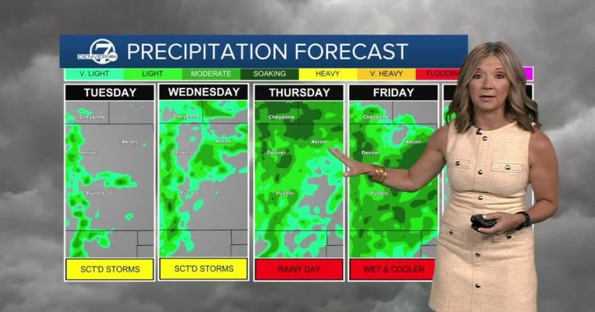
Temperatures will climb to near 90 degrees by lunch, with mid to upper 90s by mid-afternoon. The Denver metro area will see a few scattered storms and showers Tuesday afternoon. There is a low risk of severe weather but these storms could produce some rain, lightning and gusty winds.
While a lot of the wildfire smoke moved out of the state, the Denver metro will still be under an ozone action day through Tuesday afternoon with the heat and light winds causing high levels of ozone.
Temperatures will remain above normal on Wednesday, with highs in the low 90s. We will start to see more monsoon moisture move into the state by midweek and the mountains will be the first to see some of the heavier rain.
The monsoon rains will likely push into the Denver metro area Thursday, with the potential for localized heavy rain and flooding. Thursday will also be the start of some relief from the heat, with daytime highs only reaching the low 80s in and around Denver.
The cool, wet weather sticks around Friday and continues through the weekend. Look for scattered storms each afternoon and evening. Slightly warmer and drier weather returns early next week.
DENVER WEATHER LINKS: Hourly forecast | Radars | Traffic | Weather Page | 24/7 Weather Stream
Click here to watch the Denver7 live weather stream.