What to Know
- Scattered showers arrived Monday night before rain became more widespread overnight and into Tuesday morning.
- Downtown Los Angeles’ average rainfall for October is 0.57 inches, meaning the storm might deliver a month’s worth of rainfall or more in just a few hours.
- Flash flood watches will be in effect for recent burn scar areas, including the Eaton and Palisades fire zones.
- Roads will be slick with flooding possible in some locations during the morning drive.
- Temperatures on Tuesday will run 10 to 20 degrees below normal.
Evacuation warnings and orders were issued Monday for wildfire burn areas, including the Palisades and Eaton fire zones, ahead of an October storm expected to deliver the first significant rain of the season in Southern California.
Evacuation orders, which urge residents to vacate their homes, were made for 115 homes mostly in Pacific Palisades and Mandeville Canyon. Evacuation orders were issued for specific properties considered at higher risk for mud and debris flows. Law enforcement offices were contacting those residents, according to Los Angeles County authorities.
Evacuation warnings, meaning residents should make preparations evacuate, were issued for areas near the January fires in Pacific Palisades and Altadena. The warning area includes several Malibu-area neighborhoods.
Evacuation warnings also will go into effect for areas near the Mandeville Fire in Mandeville Canyon, located in the Santa Monica Mountains west of the 405 Freeway, the Hurst Fire in Sylmar, the Sunset Fire in the Hollywood Hills and the Airport Fire in Orange County.
Evacuation warnings could be elevated to mandatory evacuation orders.
The American Red Cross designated the following areas as evacuation shelters.
- Sierra Madre YMCA – 611 E Sierra Madre Blvd, Sierra Madre, CA 91024
- Stoner Recreation Center – 1835 Stoner Ave, Los Angeles, CA 90025
Los Angeles rain timeline
Widespread rain is expected overnight and into Tuesday from the first significant storm of the season, triggering flash flood watches and advisories for several areas and raising the risk of debris flows in wildfire burn zones.
In addition to steady showers, winds will pick up, especially in desert communities. Other possible impacts include road flooding, debris flows in wildfire burn areas, weak tornadoes and slick roads during the Tuesday morning drive.
Flash flood watches, indicating the possibility of flooding, will go into effect Monday night.
High rainfall rates are possible over recent burn scars, raising the threat of mudslides and debris flows. Rainfall rates could reach 0.25 to 0.50 inches per hour with higher rates possible if thunderstorms develop.
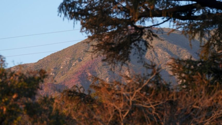
Wildfires strip vegetation, making hillsides more vulnerable to debris flows and mudslides.
The storm will mark the first significant rainfall in months for many areas. Downtown Los Angeles’ average rainfall for October is 0.57 inches, meaning the storm might deliver a month’s worth of rainfall or more in just a few hours.
- Los Angeles and Ventura counties: 0.75 to 1.50 inches
- Orange County and Inland Empire: 0.25 to 0.75 inches
- Mountains and foothills: 1.50 to 3.50-plus inches
Heavy rain and gusty winds are in the forecast, causing concern for the burn scar areas. Brittany Hope reports for the NBC4 News at 6 a.m. on Oct. 13, 2025.