

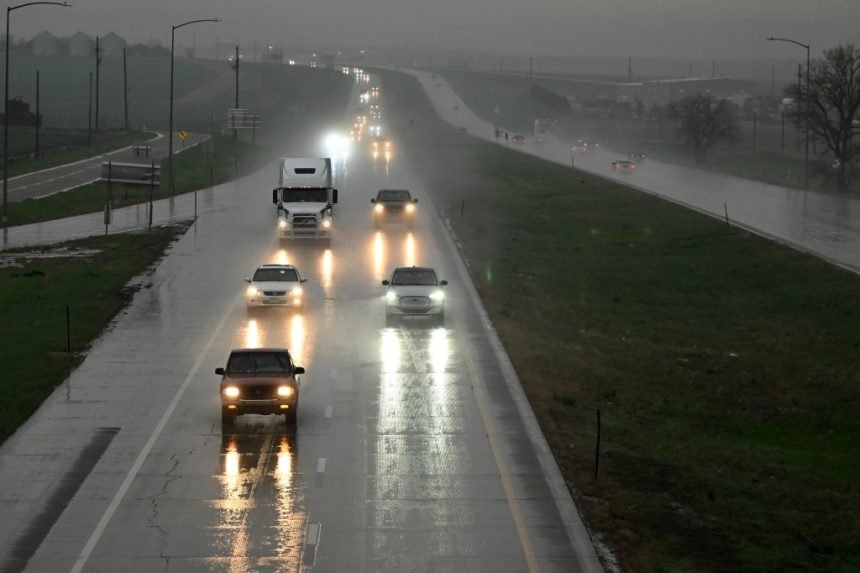
Afternoon thunderstorms will bring chances for large hail and damaging winds to the Denver area, Eastern Plains and southern Colorado on Monday, according to the National Weather Service.
Rain will be possible in Denver between noon and 8 p.m. Monday, according to hourly forecasts from the weather service. Thunderstorms are most likely in the city between 3 p.m. and 5 p.m., the forecasts show.
Scattered thunderstorms are expected across the Interstate 25 corridor and Eastern Plains between 2 p.m. and 8 p.m., weather service officials wrote on social media.
“Large hail and damaging winds will be the main threats from the storms, however, a brief tornado or two will be possible as well,” forecasters wrote.
Storms are expected to form in the I-25 corridor and strengthen as they move east, forecasters said. The threat of severe weather is low in the Denver area and higher on the plains.
In southern Colorado, severe thunderstorms are forecast to bring up to ping-pong-ball-sized hail, roughly 1.5 inches in diameter, according to a hazardous weather outlook from the weather service. The storms will grow stronger as they move from the I-25 corridor to the Colorado-Kansas border, with the greatest risk of severe weather in El Paso and Kiowa counties, forecasters said in the outlook.
Strong to severe thunderstorms will be possible across Colorado again on Tuesday, forecasters said.
As of Monday morning, the Tuesday storms were expected to bring up to quarter-sized hail roughly an inch in diameter, up to 60 mph winds, heavy rain and flash flooding, according to the outlook.
Chances for Tuesday thunderstorms in Denver will be highest between 3 p.m. and 5 p.m., according to hourly forecasts from the weather service.
This is a developing story and may be updated.
Get more Colorado news by signing up for our daily Your Morning Dozen email newsletter.


