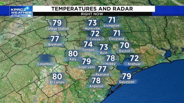
This Afternoon’s Forecast:
It is a dry and warm afternoon across SE Texas. For most of us we are dry through the afternoon, but a few storms are possible.
While our flood and severe weather risk is low, it’s not zero. Typically, when we get low threats that translates to isolated issues. Check out our radar below.
Some of us will get more storms that can produce street flooding, straight line winds and hail. This stormy weather pattern stays with us through Friday.
Tonight’s Forecast:
Tonight will be mostly cloudy and mild with overnight lows dropping to the mid-70s. It will be muggy and buggy. There is a chance for showers.
Thursday’s Forecast:
Thursday will be humid and warm with highs in the upper-80s. There is a 30% chance for showers and thunderstorms under mostly cloudy skies. There is a low threat for a strong to severe storm.
10-Day Forecast:
Finally there is no excessive heat in the 10-day forecast. We will see storms through Sunday morning. Next week the heat and humidity are back.
Copyright 2024 by KPRC Click2Houston – All rights reserved.


