



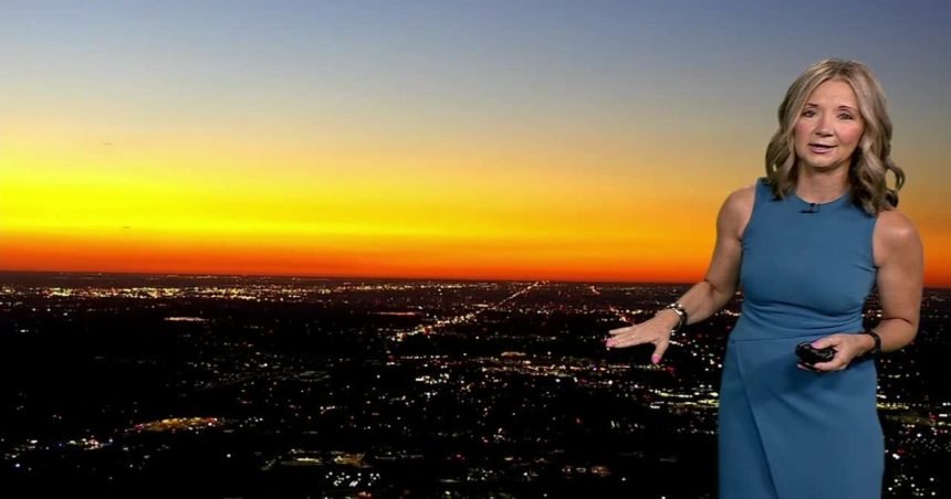
DENVER — It was hot on Sunday and it’s going to be even hotter Monday! Temperatures will likely climb into the triple-digit by early afternoon. This could be Denver’s first official triple-digit day of the year.
A Heat Advisory remains in effect through Monday evening, so be sure to stay hydrated and limit time outdoors during the hottest part of the day. A few afternoon and evening thunderstorms will develop over the mountains, but the plains should stay dry.
By Tuesday, temperatures will ease a bit, with low to mid 90s.
A few late-day storms are possible along the Front Range. These few showers will help to cool things off closer to sunset. Tuesday will mark the start of a nice pattern change. Better monsoon moisture will roll over the Eastern Plains and that will help fuel more storms and showers across the eastern half of the state on Wednesday and Thursday.
Temperatures will also drop quite a bit, with mid to upper 80s on Thursday and Friday! This wetter and cooler pattern will stick around into next week, bringing daily chances for afternoon and evening storms.
DENVER WEATHER LINKS: Hourly forecast | Radars | Traffic | Weather Page | 24/7 Weather Stream
Click here to watch the Denver7 live weather stream.