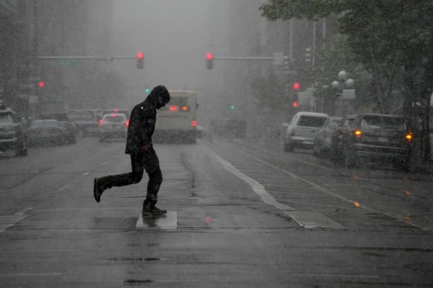
Colorado’s tempestuous spring weather is not done playing with our emotions – or gardens.
Toasty spring temperatures on the Front Range and Eastern Plains will likely transition to severe thunderstorms with a chance of snow showers over the weekend and into early next week, National Weather Service forecasters said Friday.
The swing is “classic Colorado,” NWS Boulder meteorologist Dave Barjenbruch said.
“We’re going to see a pretty sharp change here tomorrow with scattered storms and the greatest risk for severe weather just east of Denver and over northeast Colorado,” Barjenbruch said.
There’s also a slight chance of a strong thunderstorm or two in metro Denver, he added, as well as a chance that rain showers could cause a slightly soggy Colfax Marathon on Sunday.
A moist air mass moving up from the Gulf of Mexico is expected to bring precipitation throughout the region starting Saturday, though when, where and how much is still up in the air, according to agency forecasters.
Colorado’s mountains will likely see a few inches of snow starting Sunday night and the foothills could get up to an inch. It’s about a 50-50 chance metro Denver will see snowflakes swirling in the sky on Monday, Barjenbruch said, but even then temperatures will be warm enough that there will be little to no accumulation.
Temperatures could fall low enough to put a layer of frost over early gardens, though a hard freeze is not likely, Barjenbruch said.
“We could dip to or just slightly below freezing Monday night, but most of the Denver metro should stay at or above freezing. We’re certainly keeping an eye on that over the next couple of days,” he said.
Most of the Western Slope and southern Colorado will see strong, gusty winds and low humidity on Saturday, which could cause elevated fire danger before transitioning to thunderstorms and rain showers on Monday, according to NWS offices in Grand Junction and Pueblo.
Get more Colorado news by signing up for our Mile High Roundup email newsletter.